General News
11 October, 2025
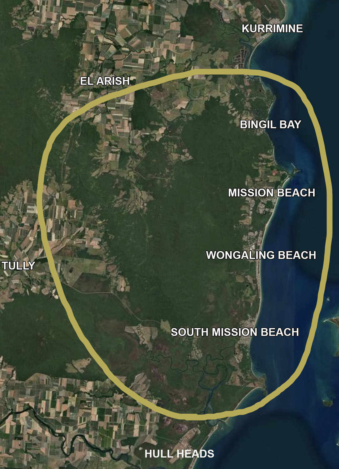
Mapping key to Mission
MISSION Beach – the home of Australia’s second-largest area of lowland rainforest and the country’s highest density of cassowaries living alongside people – is the focus of a new planning and mapping project designed to protect its unique environment while guiding sustainable development.

Yet in recent years, significant environmental decline has occurred. Mission Beach is now a national hotspot for cassowary vehicle strikes. Without clear planning, expected population growth and coastal development could place even more pressure on local ecosystems.
Supported by a community projects and initiatives grant from Cassowary Coast Regional Council, the project will map forest remnants, wildlife corridors and other ecological values across the Mission Beach region, review existing planning tools and incentives and publish a web-based GIS layer and outcomes report for public review before final delivery to the council in July 2026.
A core purpose of the project is to establish the foundations for an MLES (Matters of Local Environmental Significance) mapping layer to bring planning and community attention to the critical habitats within Mission Beach. MLES are set by local governments to recognise locally important species, ecosystems and environmental values. This work is a vital step to ensure locally significant natural values are visible in day-to-day planning and can be better protected through scheme provisions, design responses and incentives.
The project will host two community workshops to gather local knowledge and perspectives. Insights from residents, Traditional Owners, scientists and land managers will be used to refine mapping and priorities before the draft outcomes report is released for public comment. These stakeholder workshops are in November 2025 and March 2026.
“We’re working with the community to map forest and wildlife corridors with a vision to protect what makes Mission Beach and our lifestyle so special. This shared mapping will use local knowledge to guide better decision making to safeguard what matters most,” said Liz Gallie of the Friends of Ninney Rise.
The initiative is led by Friends of Ninney Rise, with help from experts including Dr Ro Hill (James Cook University), Tony O’Malley (Terrain NRM), Di Tarte (Marine Ecosystems Policy Advisors) and Ms Gallie.
Keep up to date at www.bit.ly/46X83Gu
Read More: Mission Beach